Teaching machines to map the earth
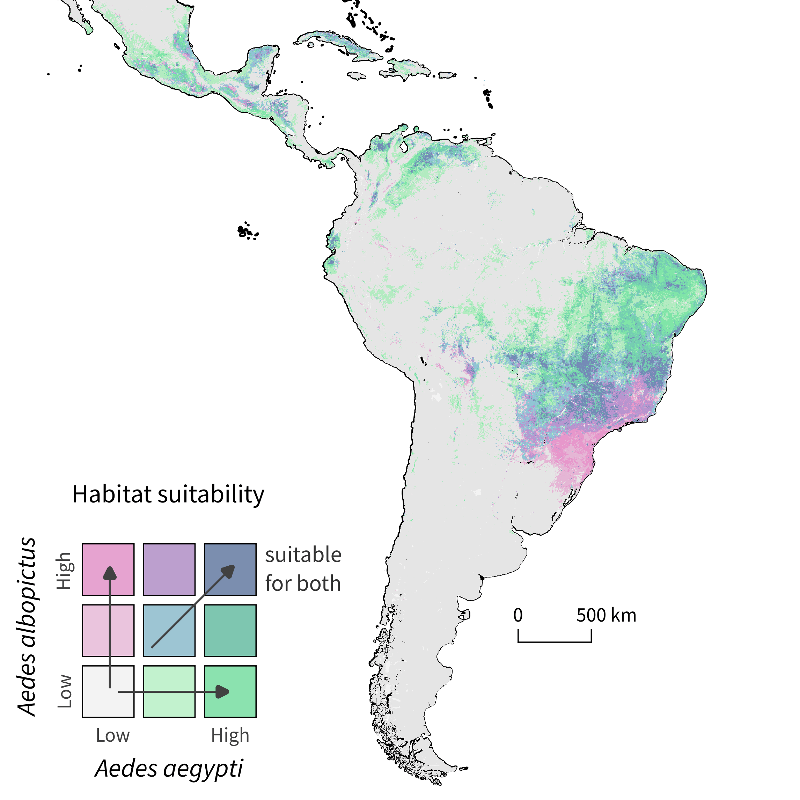
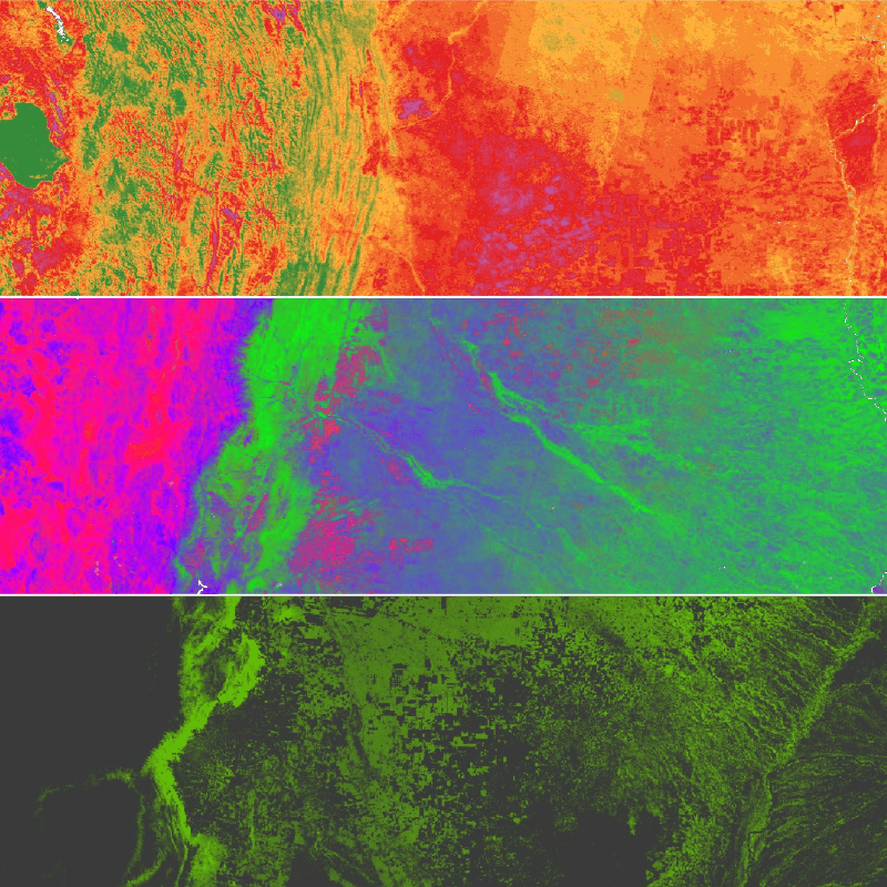
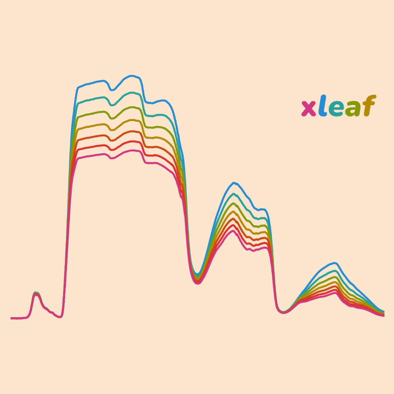
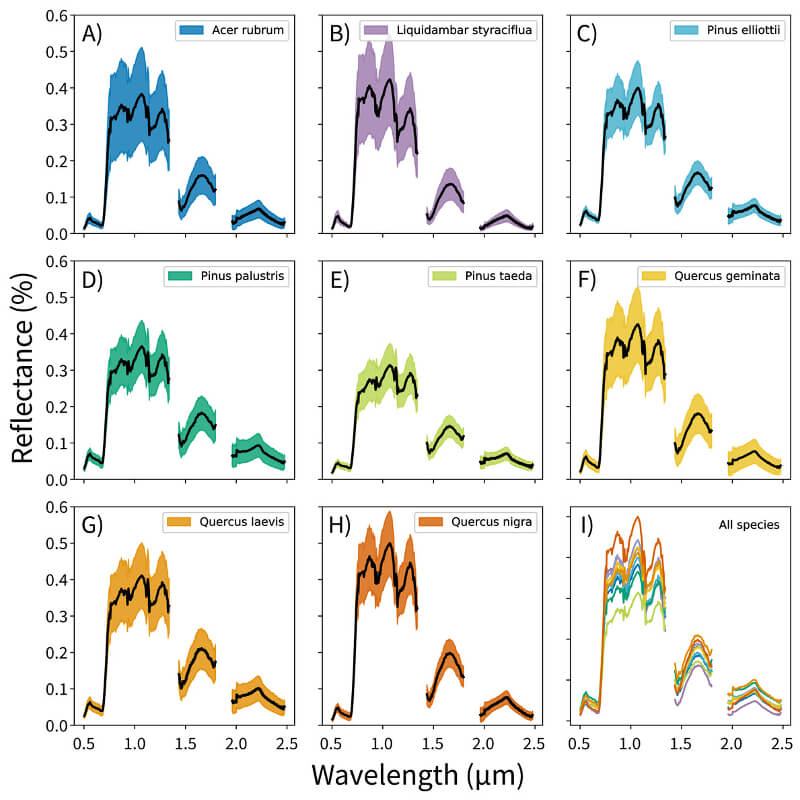
Below are the open source software projects I’ve developed. They’re all designed for working with earth observations data—like satellite or airborne imagery—to quantify how ecological systems are changing over time.